Navigational Chart Crafting
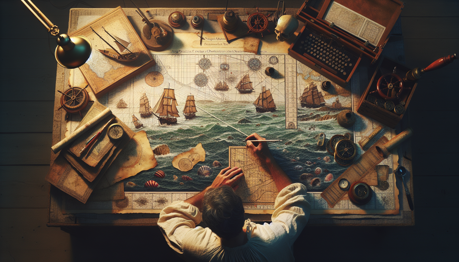
Have you ever been captivated by the intricate beauty of navigational charts? You may not realize it, but crafting these navigational charts is an art form that requires skill, precision, and an eye for detail. From carefully mapping out coastlines and seafloor contours to expertly plotting routes and marking hazards, navigational chart crafting combines the realms of cartography and craftsmanship. Delve into the world of this unique craft and discover the fascinating blend of creativity and practicality that goes into creating these essential tools for seafarers.
Navigational Chart Crafting
Navigational chart crafting is an art form that allows you to create accurate and detailed maps for navigating the open waters. Whether you are a sailor, fisherman, or just someone with a love for cartography, creating your own navigational charts can be a rewarding and fulfilling hobby. In this article, we will explore the history of navigational chart crafting, the importance of accurate charts, the tools and materials needed, as well as provide step-by-step instructions on how to create your own navigational chart.
What are navigational charts?
Navigational charts, also known as nautical charts, are maps specifically designed for use in maritime navigation. These charts provide detailed information about the coastline, water depths, navigational aids, and other important features such as hazards and underwater obstructions. They are essential tools for safe and efficient navigation at sea, helping mariners plot their course and avoid potential dangers.
History of navigational chart crafting
The art of navigational chart crafting dates back thousands of years, with some of the earliest known charts being created by ancient civilizations such as the Phoenicians and Greeks. These early charts were often simple sketches, depicting coastlines and prominent landmarks. As maritime exploration and trade expanded, so did the need for more accurate and detailed charts. In the 15th century, advancements in navigation and cartography led to the creation of more refined charts, such as the portolan charts used by Mediterranean sailors. With the advent of satellite technology and modern surveying techniques, navigational chart crafting has evolved to encompass digital mapping and electronic charting systems.
The importance of accurate navigational charts
Accurate navigational charts are critical for safe and efficient navigation at sea. They provide mariners with vital information about the underwater environment, including depths, shoals, and navigational aids. Without accurate charts, ships could run aground or collide with underwater obstructions, leading to potential disasters. Additionally, navigational charts help mariners plan their routes, taking into consideration factors such as tidal currents, weather conditions, and other navigational hazards. Therefore, the creation of accurate navigational charts is of utmost importance to ensure the safety of mariners and their vessels.
Tools and materials needed for navigational chart crafting
Creating navigational charts requires a few essential tools and materials. Here are some of the most commonly used ones:
-
Compass: A compass is essential for measuring angles and drawing accurate headings on the chart.
-
Protractor: Used for measuring and drawing angles on the chart.
-
Parallel rulers: These rulers allow you to align with meridians and parallels on the chart, ensuring accurate plotting of courses.
-
Dividers: Used for measuring distances on the chart.
-
Pencils and erasers: These basic drawing tools are necessary for sketching and making adjustments on the chart.
-
Chart paper or a navigational chart kit: Depending on your preference, you can either use blank chart paper or purchase a pre-printed navigational chart kit.

Steps to create a navigational chart
Now that you have the necessary tools and materials, let’s dive into the step-by-step process of creating a navigational chart:
Step 1: Gather information
Before you start charting, gather all the necessary information about the area you want to map. This includes studying existing charts, obtaining depth soundings, and noting any vital navigational aids in the region.
Step 2: Determine the scale
Choosing the appropriate scale is crucial for accurately representing the area on your chart. Consider the size of the paper or chart kit you are using and the level of detail you want to include.
Step 3: Plot the coastline
Using your compass and protractor, begin plotting the coastline on your chart. Start by marking the major landmarks and indentations, and then gradually add more details, such as bays, coves, and headlands.
Step 4: Add depth soundings
Using the depth soundings you obtained, carefully mark the depths on your chart. Connect these points to create depth contours, which will provide crucial information about the underwater terrain.
Step 5: Include navigational aids
Add symbols and labels for navigational aids such as lighthouses, buoys, and beacons. These aids help mariners determine their position and navigate safely.
Step 6: Draw courses and bearings
Using the parallel rulers, plot courses and bearings on your chart. This will allow mariners to accurately navigate from one point to another.
Step 7: Add additional features
Consider including additional features such as reefs, wrecks, and other potential hazards. These details will help mariners avoid dangers and navigate safely.
Step 8: Finalize and label
Once you have completed the chart, review it for accuracy and make any necessary adjustments. Finally, label the chart with a title, date, and any other relevant information.
Choosing the appropriate scale for a navigational chart
When creating a navigational chart, choosing the appropriate scale is crucial. The scale determines the level of detail and the area that can be shown on the chart. Generally, larger scales, such as 1:10,000, are used for harbor and coastal charts, while smaller scales, such as 1:100,000, are used for open water and ocean charts. Consider the purpose of your chart and the amount of detail you want to include when selecting the scale.
Different types of navigational charts
There are several types of navigational charts, each serving a specific purpose. Here are some common types:
-
General charts: These charts provide an overview of an entire region and are used for route planning and general navigation.
-
Coastal charts: Coastal charts provide detailed information about specific coastal areas, including navigational aids, depths, and hazards.
-
Harbor charts: Harbor charts focus on providing detailed information about ports and harbors, including anchorage areas, channels, and facilities.
-
Electronic charts: With the advent of electronic charting systems, navigational charts can now be displayed digitally on electronic devices, offering real-time positioning and additional features such as weather overlays and route planning.
Navigational chart symbols and legends
Navigational chart symbols and legends are essential for understanding the various features and information represented on a chart. These symbols include representations of navigational aids, obstructions, depths, and other important features. Familiarize yourself with the symbols and legends specific to the chart you are using to ensure accurate interpretation.
Using technology in navigational chart crafting
Technology has revolutionized navigational chart crafting, providing new tools and techniques to enhance accuracy and efficiency. GPS devices, sonar systems, and satellite imagery are commonly used to gather data and create more precise charts. Additionally, digital mapping software and electronic charting systems allow for the creation and display of navigational charts in a digital format.
Tips and tricks for creating precise navigational charts
Here are some tips to help you create precise navigational charts:
-
Take accurate soundings: Use reliable depth sounders and ensure accurate measurements when recording depths.
-
Double-check your measurements: Take multiple measurements and cross-reference them to ensure accuracy.
-
Use clear and consistent symbols: Make sure your symbols and legends are easy to interpret and consistent throughout the chart.
-
Update your chart regularly: As conditions change, update your chart to ensure accuracy.
-
Seek feedback from experienced mariners: Ask for input and feedback from experienced sailors or sailors familiar with the area to ensure the accuracy and usability of your chart.
Common mistakes to avoid in navigational chart crafting
To create accurate navigational charts, it is important to avoid common mistakes. Some mistakes to watch out for include:
-
Inaccurate depth soundings: Ensure depth measurements are correct, as inaccurate soundings can lead to dangerous situations.
-
Missing or incorrect symbols: Ensure you are using the correct symbols and legends to represent features accurately.
-
Overcrowded charts: Avoid cluttering the chart with excessive details, as this can make it difficult to interpret.
-
Incomplete or outdated information: Keep your chart up to date by regularly gathering the latest information and incorporating any changes.
Navigational chart crafting is a fascinating and rewarding hobby that allows you to combine your love for cartography with the practical application of safe navigation. By following the steps outlined in this article and practicing precision and attention to detail, you can create accurate and reliable navigational charts that will aid in safe and efficient navigation. Happy chart crafting!


